top of page


|
|

Pythagoras CAD+GIS
Pythagoras DTM
The Pythagoras DTM module allows users to create complex digital terrain models. Points and breaking lines are easily transformed into a field model. What follows is a swift analysis of this DTM or a comparison between different models.
Load surface point cloud data
DEM files coming from UAV and other systems, containing millions of points, can be quickly imported and converted to represent an accurate model of a project.
Quickly create accurate profiles
Creating profiles and cross sections at a specific location or at a determined distance is done quickly and accurate. The generated profiles and sections can be placed wherever the user wants.
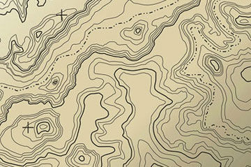
Draw contour lines
Contour lines give users an extended view on a DTM project and are fully customizable, choosing distance, color and line type.
Create DTM colorization and legends
DTM colorization is the ultimate representation of your DTM project. Customizable colors and legends make clients understand.
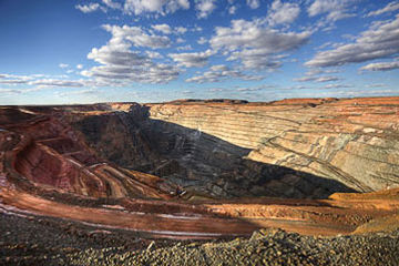
Calculate accurate volumes
Cut & fill calculations are done with ease. “DTM to height” or “DTM to DTM” analysis solves all your earthwork problems accurately.
bottom of page